Any Building in 10 Minutes in VR: How Floor Plan Is Changing Assault Preparation
Ukrainian Farsight Vision has released a feature that converts a standard PDF building plan into a three-dimensional combat simulation. Now units can rehearse clearing a specific facility before the first soldier crosses the threshold.

By Tetiana Suchkova-Ladik
June 10, 2026 · 2 min read
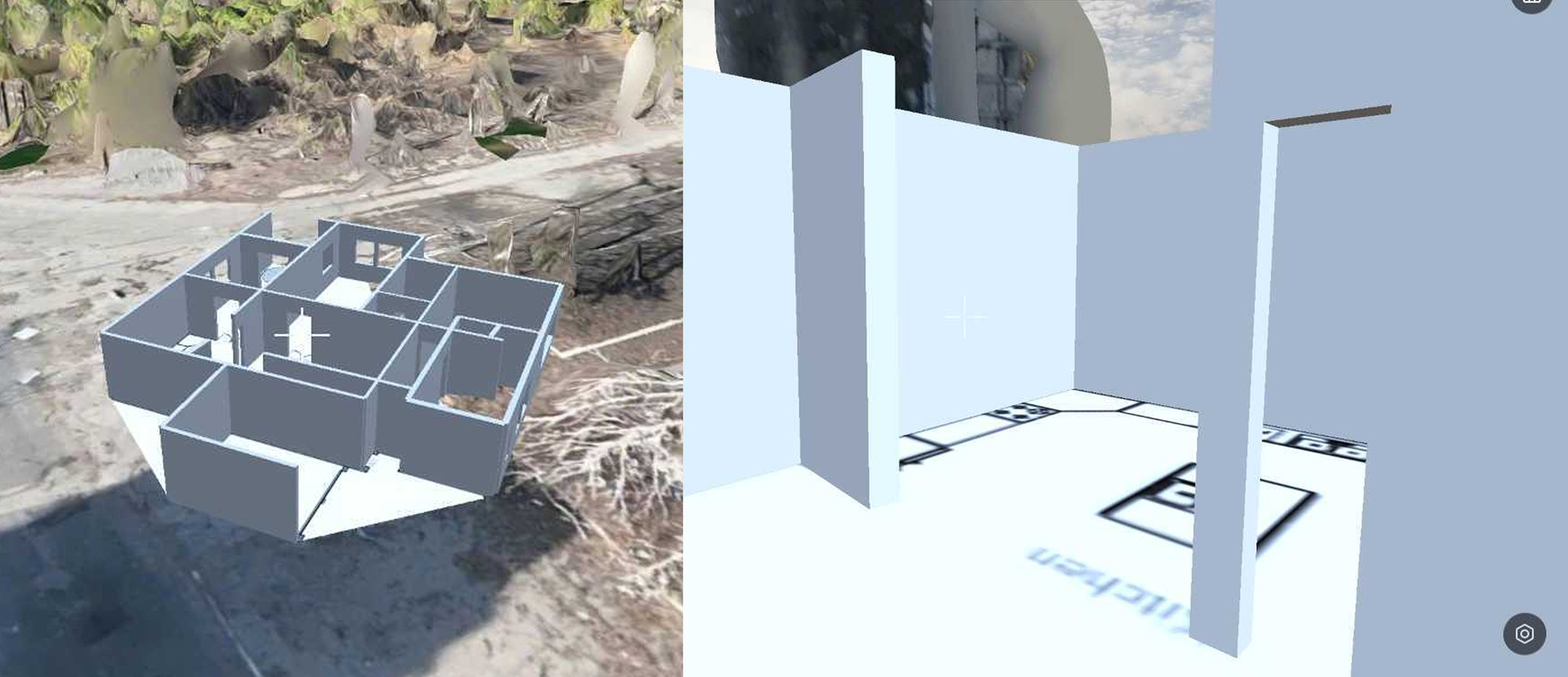
To practice building assault tactics, special forces have spent decades building physical mockups or renting similar premises. Ukrainian company Farsight Vision has taken a different approach: upload a floor plan — and enter it in a headset.
What is Floor Plan and how it works
The new Floor Plan feature in the FSV App allows you to upload a two-dimensional image of a building through the FSV platform and automatically get a full-fledged 3D model. Next comes editing: walls, windows, rooms are corrected with built-in tools, and the finished object is saved in the account under "Custom" section. The entire process is without engineers or special equipment.
The simulation supports VR mode, allowing you to practice the mission under conditions as close to real as possible. Fighters have access to the FSV App weapons library with realistic models.
"Today the value of a second in combat is higher than ever. Floor Plan gives commanders the ability to conduct a full simulation of an assault on a specific building before the group enters — knowing where the walls are, where the windows are, where possible threats lie. This is an advantage that can save lives."
Victoria Yaremchuk, CEO of Farsight Vision
Broader context: not a simulator, but an intelligence platform
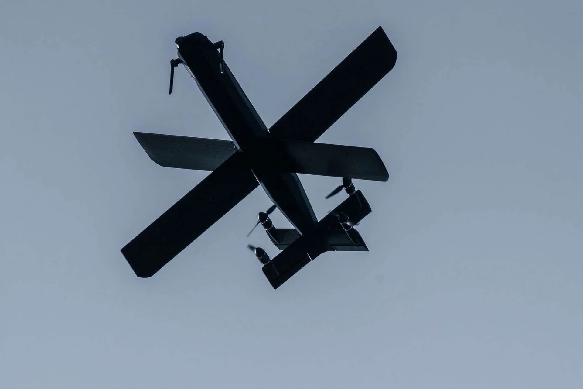
Floor Plan is not a standalone product, but a new feature in the ecosystem that Farsight Vision is building with different logic. The foundation is FSV Platform: a geospatial platform that transforms photos and videos from drones (including in EW conditions) into orthophotos and 3D terrain models with accuracy of 5–7 cm per pixel. Floor Plan extends this logic inside buildings — to places where a drone cannot fly.
The company is also developing FSV Mapper — a device for autonomous processing of media files in unstable communication conditions — and FSV Navigator, a navigation module for drones in GPS-jamming zones. In other words, Floor Plan logically closes the last link: from terrain reconnaissance to training inside a specific object.
Practical angle: where the plans come from
The most interesting question is not the technology, but the source data. In cities where combat operations are currently taking place, building plans are rarely publicly available. However, archived cadastral documents, engineering blueprints, or even satellite imagery provide enough to build a basic model. The feature works with any 2D image — this means the range of sources is significantly broader than official documentation.
- Counter-terrorism operations: assault on a seized object with a known floor plan
- Urban clearing: standardization of tactics for different types of buildings
- Reserve training: reducing training time without physical infrastructure
So far, Farsight Vision has not disclosed which units are already testing Floor Plan in combat conditions. If the tool truly reduces the cycle from "received intelligence — practiced assault" from hours to minutes — the next question for the company is: will Floor Plan integrate with external geodata sources, including what is captured by FSV Platform's own drones in real time?